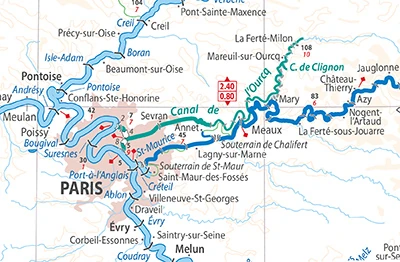
Canal Saint-Martin
Romantic 1825 waterway with iron footbridges, double locks, and tree-lined quays
Commissioned in 1802 by Napoleon Bonaparte to supply Paris with fresh drinking water and grain via the Ourcq River, inaugurated in 1825. Extends 4.5 kilometers from the Bassin de la Villette to the Seine.
A bohemian aquatic artery where 19th-century hydraulic engineering meets contemporary Parisian cafe culture and poetic romance.
Filmmakers immortalized the canal in 'Amélie' (Le Fabuleux Destin d'Amélie Poulain), where Amélie skips flat stones from the iron footbridge at the Écluses des Récollets.
Nearby Sacred Topography Nodes (Paris)
View All 50 →Musée Picasso Paris (Hôtel Salé)
World's most comprehensive private collection of Pablo Picasso in a 17th-century Marais mansion
Musée Carnavalet • Histoire de Paris
Oldest municipal museum dedicated to the complete history of Paris from prehistoric to modern
Place des Vosges & Maison de Victor Hugo
Oldest planned royal square in Paris with red brick arcades in the heart of Le Marais