NODE-34 • parks19th Century - Present
Carretera de les Aigües
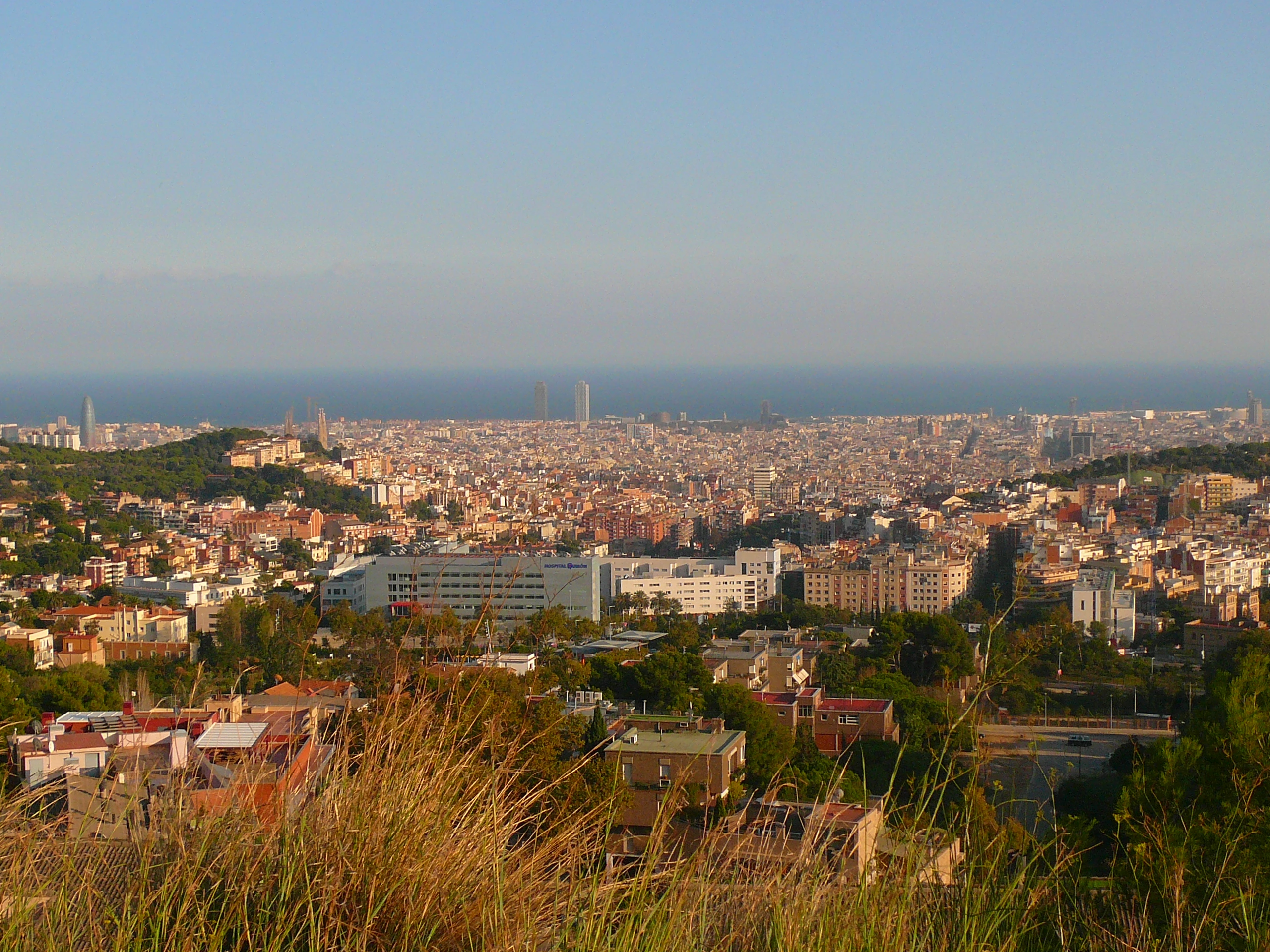
Scenic 10-kilometer flat ridge balcony across Collserola overlooking the city
41.417800°N, 2.106700°E•mountain Axis
Documented Historiographical History
Constructed in the late 19th century as a service road for the municipal water pipeline that carried drinking water across the mountains.
Architectural & Symbolic Reading
A continuous unpaved balcony maintaining a flat elevation of 280 to 300 meters, ideal for walking, running, and cycling with complete panoramic views.
Historical Legends & Mysteries
Provides clear sightlines of the entire metropolitan basin, from the Pyrenees in the distance to the coastal river deltas and the Mediterranean.
Related Tags:#Carretera de les Aigües#Collserola#Panoramic Balcony#Running Trail#Skyline
Nearby Sacred Topography Nodes (Barcelona)
View All 50 →parks~1.4 km
Summit of Mount Tibidabo
Highest peak of Collserola (512m) with the Sacred Heart Basilica and vintage park
modernism~2.5 km
Torre Bellesguard (Casa Figueras)
Fortified neo-Gothic manor erected over the medieval castle of King Martí I
monuments~2.6 km
Reial Monestir de Santa Maria de Pedralbes
Tranquil 14th-century monastery with the world's largest three-story Gothic cloister