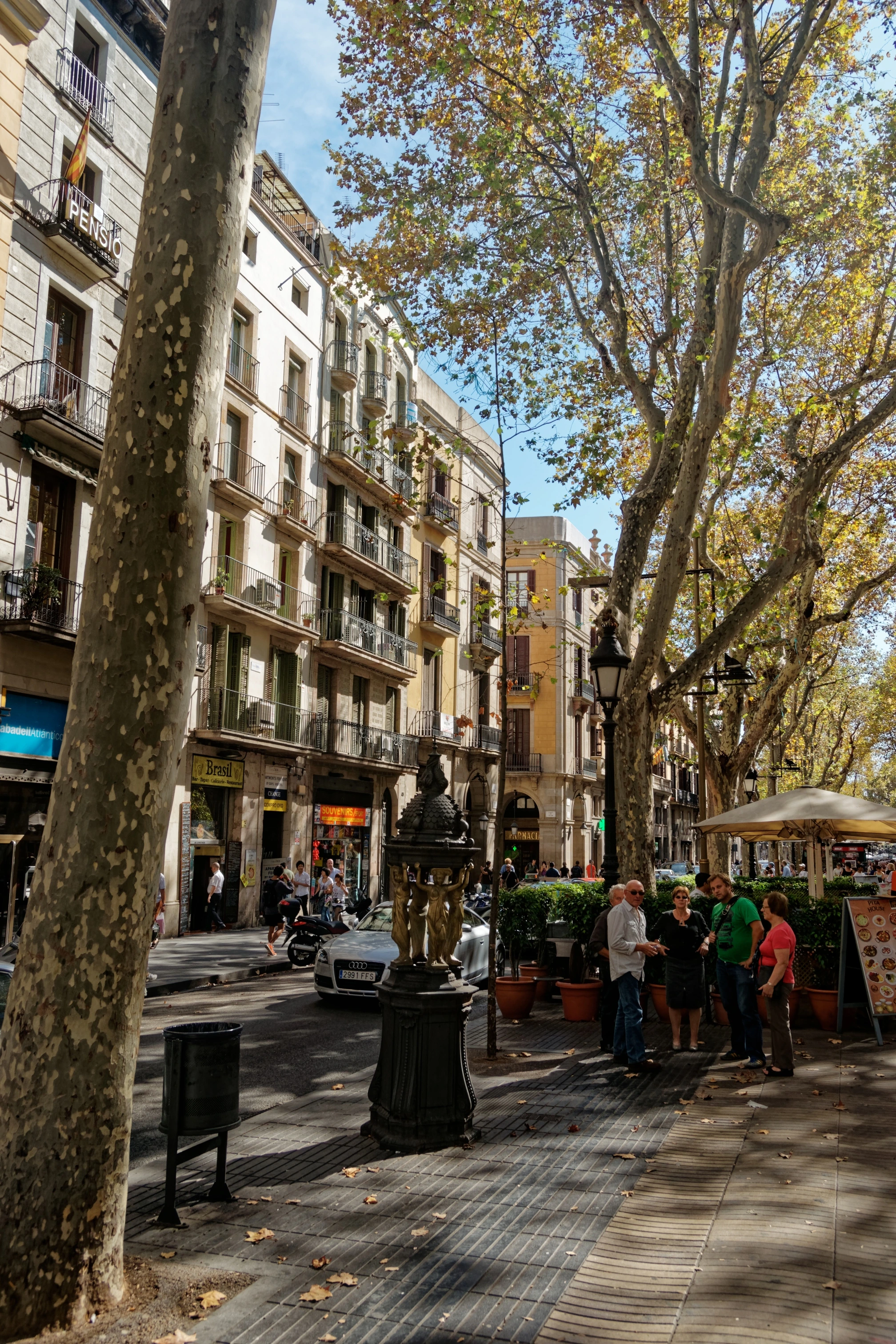
Las Ramblas
World-famous 1.2-kilometer civic promenade connecting Plaça Catalunya to the sea
Originally a seasonal rainwater torrent outside the medieval city walls ('ramla' in Arabic). Paved and lined with plane trees in the late 18th century as the western walls were demolished.
Composed of five connected promenades: Canaletes, Estudis, Sant Josep, Caputxins, and Santa Mònica. Features Joan Miró's circular sidewalk mosaic (Pla de l'Os) installed in 1976.
Legend says whoever drinks from the Font de Canaletes at the top of Las Ramblas is destined to fall in love with Barcelona and return to the city.
Nearby Sacred Topography Nodes (Barcelona)
View All 50 →Mercat de la Boqueria (Sant Josep)
World-famous gastronomic market with modernist cast-iron roof on Las Ramblas
Plaça de Sant Felip Neri
Tranquil Gothic square with shrapnel scars of 1938 and a peaceful fountain
Palau Güell
Opulent urban palace with celestial parabolic cupola and sculpted chimneys